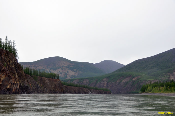
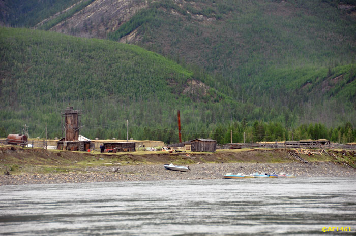
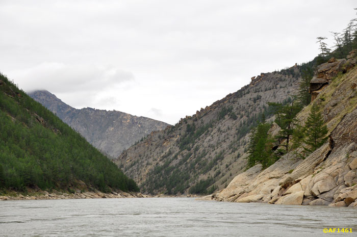
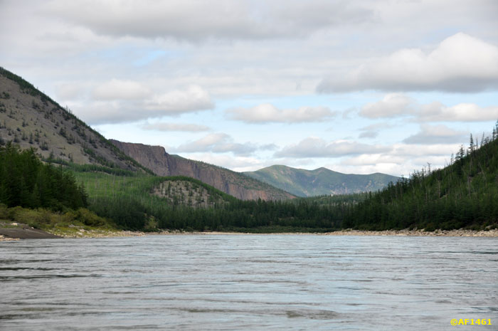
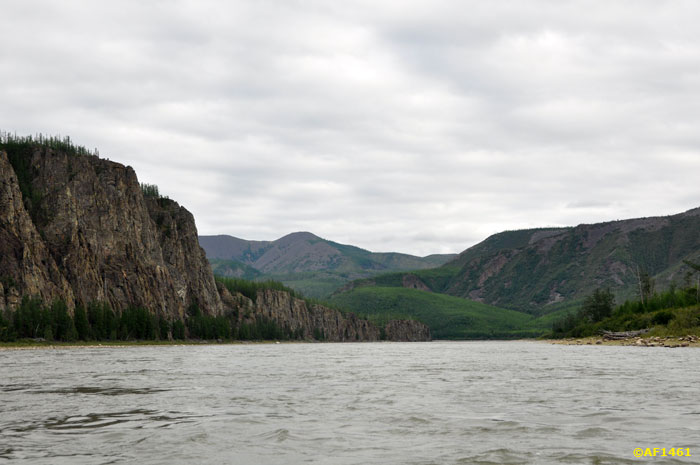
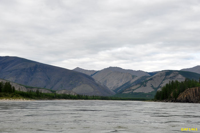
Tyubelyahskoy basin, for the mouth of Tuscana, Indigirka describes a steep S-shaped loop. River abruptly changes its direction of flow on the northern and squeeze into gorge Porozhnotsepinskogo Ridge - part of Chersky Range. Here begins Ulakhan-Hapchagay - the famous Great Gorge Indigirka.
About this 100-kilometer section of most heard. He was covered with legends and more - fantasies. Separate the truth from fairy tales, the reality of an exaggeration pretty easy. In ancient times, living on the shores of Indigirka Yakut and Russian, of course, afraid of this place. For wooden boats do not even thresholds - high standing trees on Shiver fatal. Known legend about a few Cossacks, who tried to pass Ulakhan-Hapchagay along with six local volunteering to help them Yakut. In living out of this squad there is only one person.
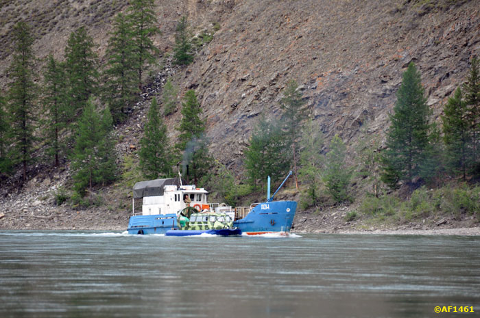
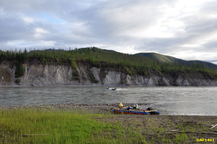
But for the modern tourist vessels gorge is not particularly difficult, Is that a spring flood. The only difficult obstacle threshold "Krivun, estimated third category of complexity (of five). Under favorable conditions, for the most part of the gorge you can walk on a motor boat with a good engine (though not always on a dare).
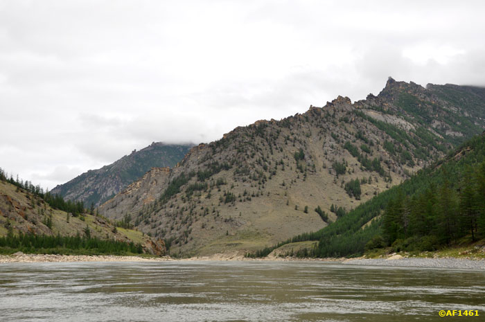
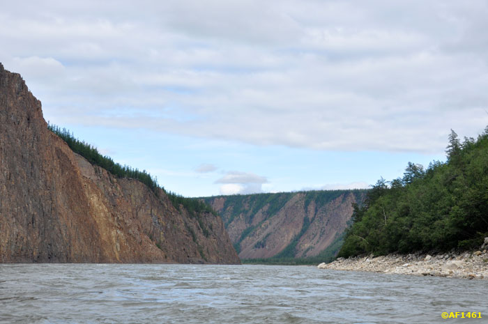
Ulakhan-Hapchagay is as of three parts. First - thirty-kilometer gorge in Porozhnotsepinskom ridge. The channel is narrowed to 100-120 meters, flow rate - 12-15 km / hour. This plot is typical clips and Shiver with a height of standing waves of about one meter (with an average water).
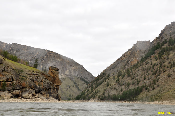
second part - the expansion between Ytabyt-Yuryakh and Uchchey length is about 50 km. At the beginning of this part Ulakhan-Hapchagaya seems simple - the channel expands, the flow velocity decreases slightly, Shiver becoming rarer. But it is this apparent calm hides a major obstacle site gorge - the threshold of "Krivun.
threshold of two stages located on the steep left bend in the river near the confluence Kyuel-Mustahil. Standing trees occupy the entire width of the river, the main jet (and the highest, almost two-meter rolls) - in the right third flow. On the left is calm, but the water is sticking a few rocks and large stones. Feature "Krivuna" by which he is named - the location in the rotation. In the first stage of the threshold can not see the second, and given the frantic over - after the release of the shafts of the first stage is very little time to properly go through the second stage. Kayaking there is better not to meddle, and hold it along the coast (the best - the left, if the water is not very high and there is a passage under the cliffs).
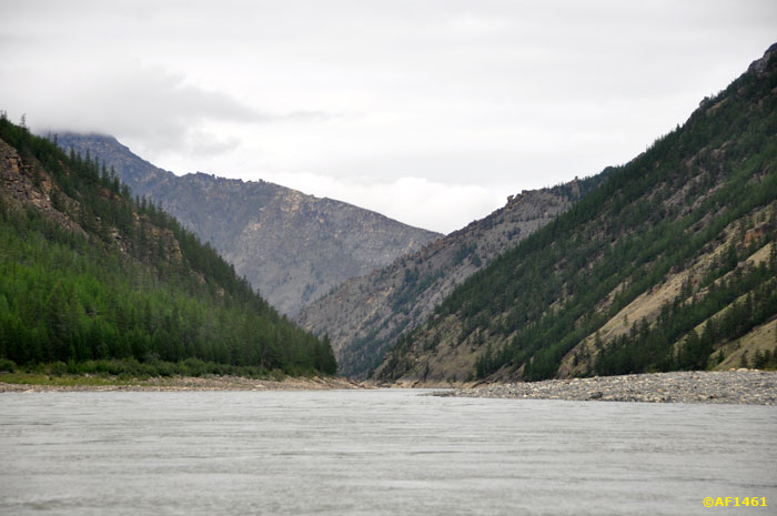
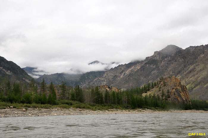
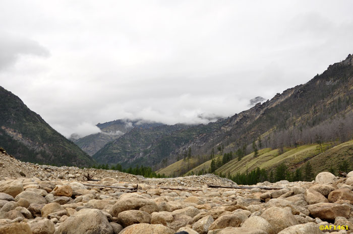
Below "Krivuna river remains relatively calm nature, fast flowing and Shiver individuals of different sizes. But all the interesting complex remains behind. The third part of the valley, crossing Chemalginskogo ridge, though it looks on the map as the first, contains no major obstacles.
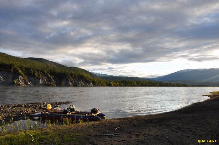
This Post shows the first part and second part Ulakhan-Hapchagaya. Let's go!
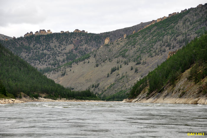
Porozhnotsepinsky ridge.
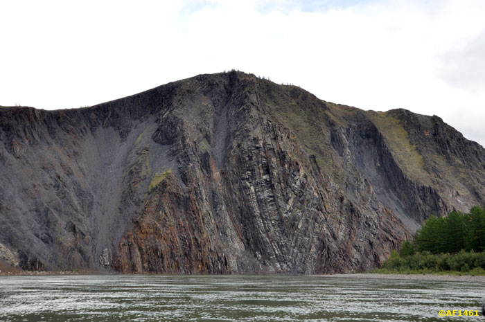
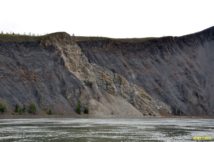
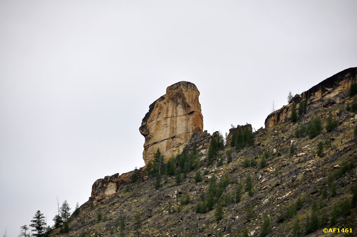
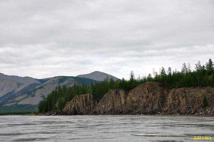
cliff.
Shiver Large or small threshold, the boundaries of these concepts are merged.
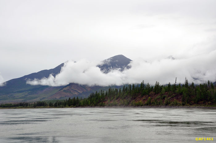
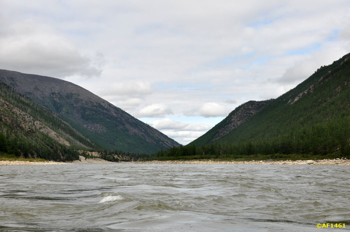
afar login Ulakhan-Hapchagay looks small decrease in the ridge. In this picture hangs there white cloud.
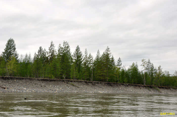
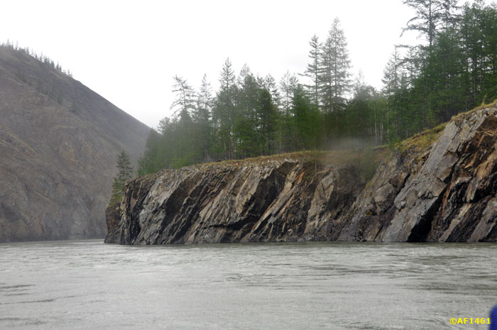
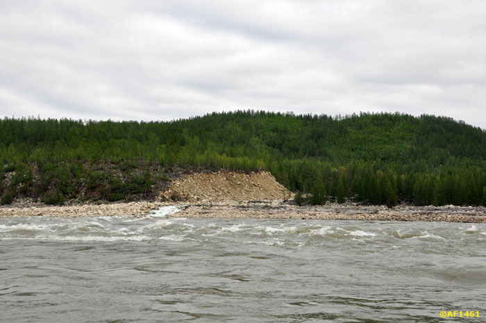
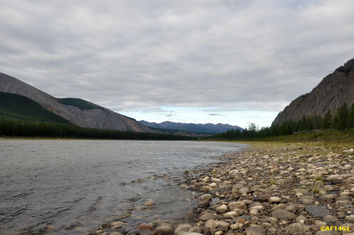
boreal forest on the banks of growing on a thin layer of earth over a large gravel - sand are almost never seen.
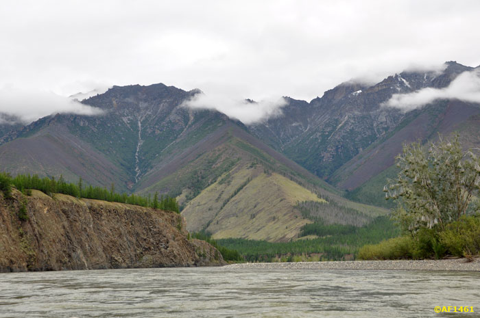
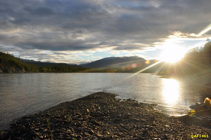
For the mouth of Tuscana start input S-shaped loop.
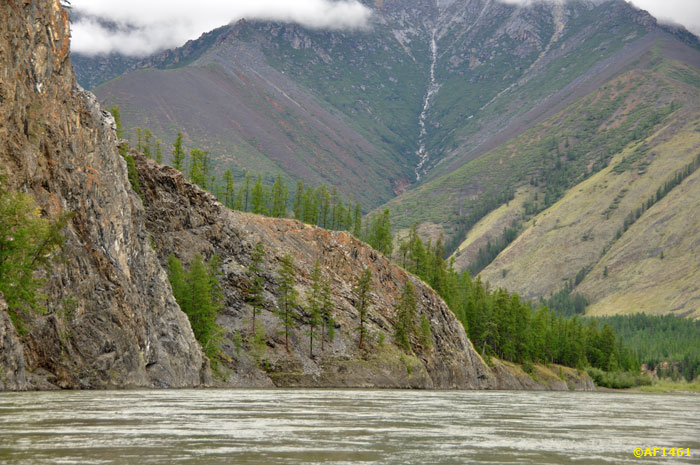
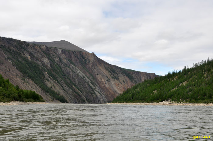
Left Bank is amazingly beautiful.
At the exit from a loop called the gorge. For this moment, believe me, worth it to get here for 7000 miles!
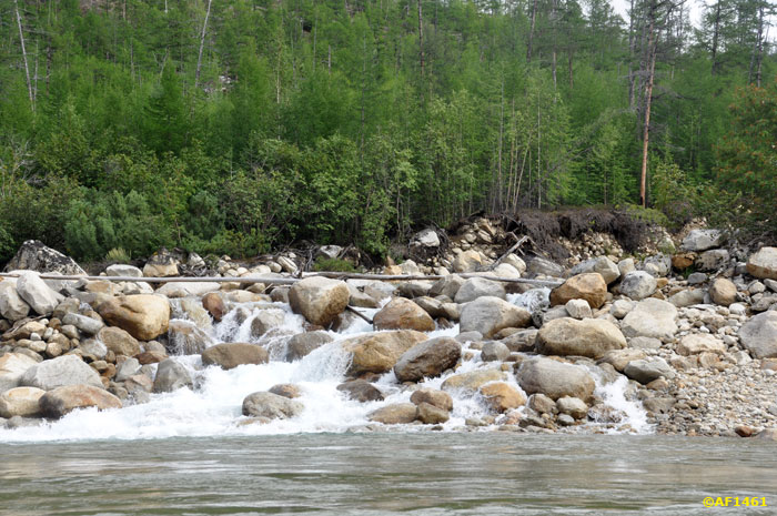
First Shiver.
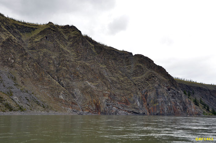
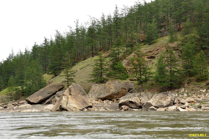
stones on the shore smoothly obtocheny water and ice. During spring flooding going on here hell.
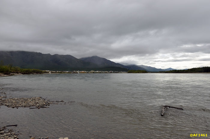
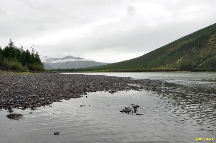
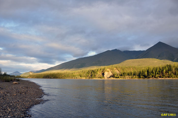
near the mouth of Sigiktyaha - a small extension.
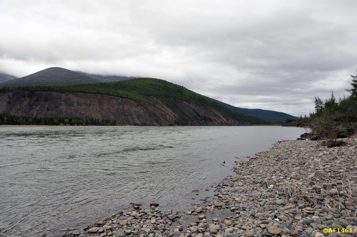
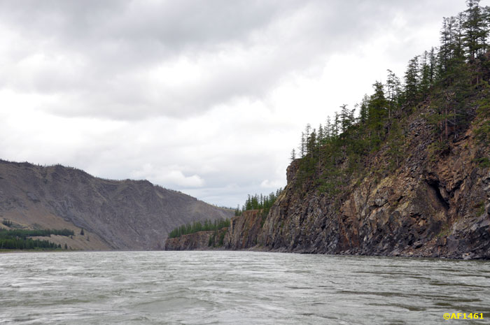
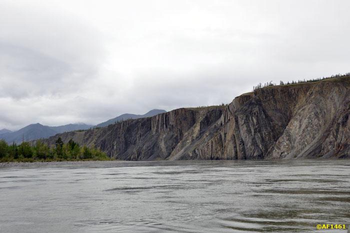
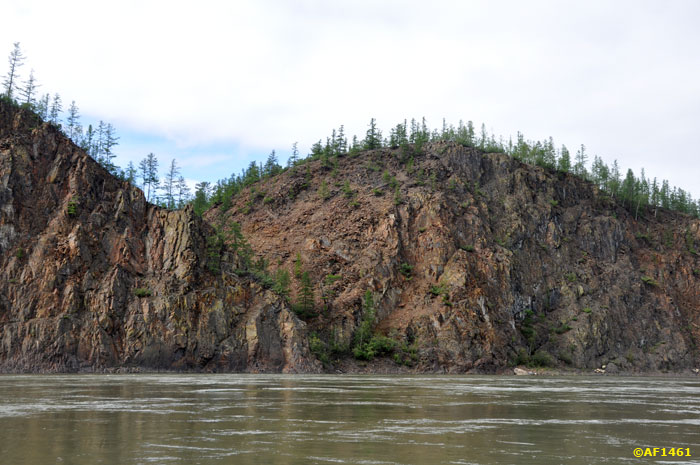
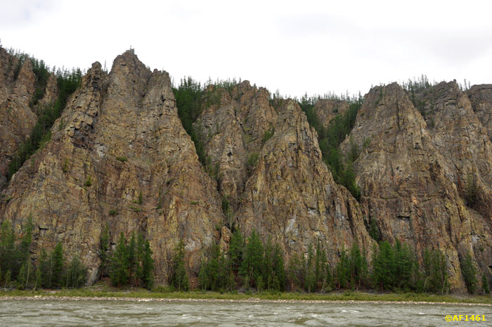
On the shore there are some cliffs, carved out of small Indigirka perpendicular spurs-hrebtikov.
Near the confluence Mokdzhogoytyaha - a very beautiful place.
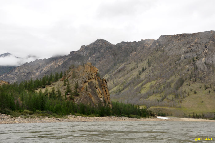
Here stands a rock beads and Kalinin - named so in memory of the expedition Narkomvoda, who died in the exploration Ulakhan-Hapchagaya in 1930. The gorge was considered unfit for navigation.
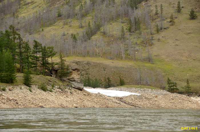
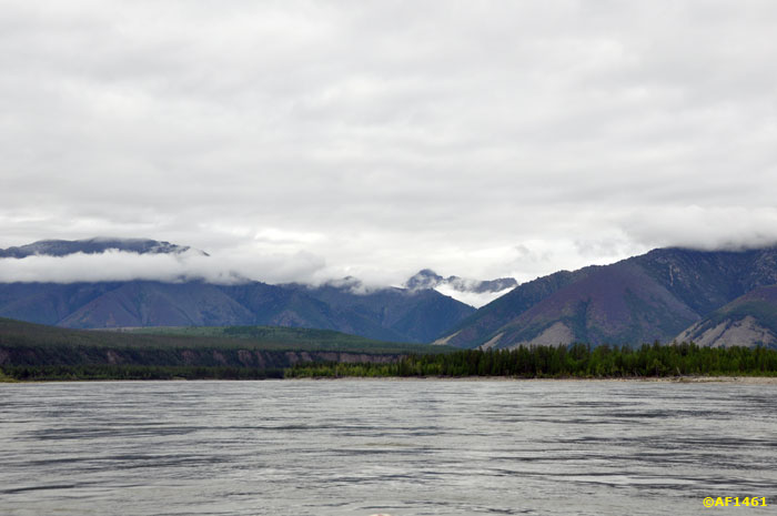
In the deep side canyons still lying snowfields.
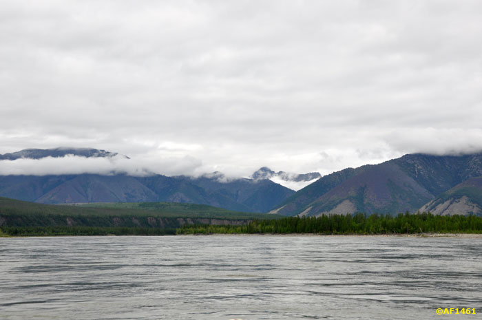
Heart Chersky Range.
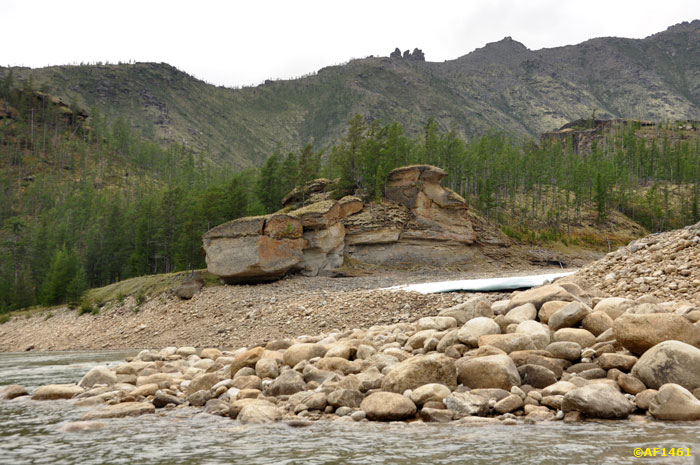
height near "Pebble" - six meters.
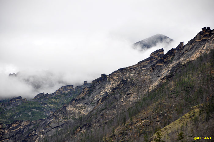
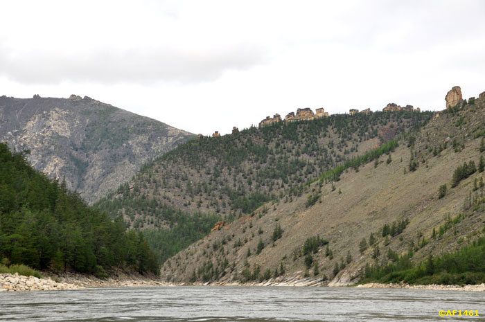
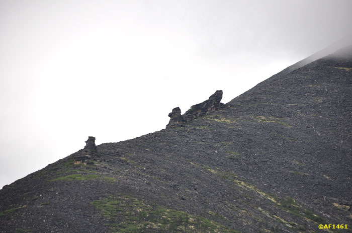
Above gorge on the slopes of the ridge, you can see remnants of stone - kigilyahi.
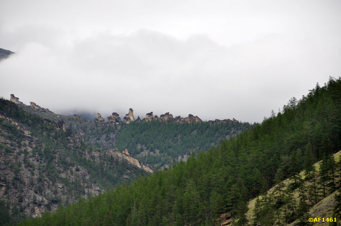
They are very diverse.
Almost Easter Island.
These stones river turn their Spring as a small pea. The force of water flow - terrific.
End Porozhnotsepinskogo site.
Shiver.
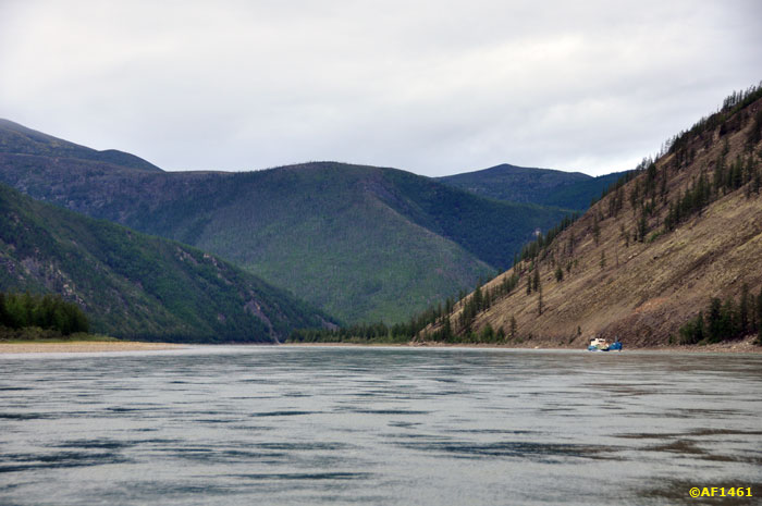
Ytabyt-Yuryakh. The beginning of the second section.
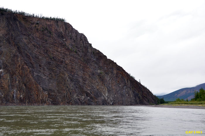
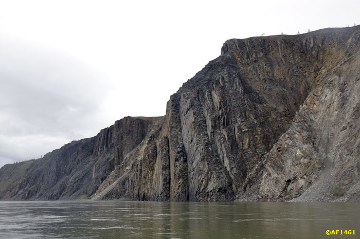
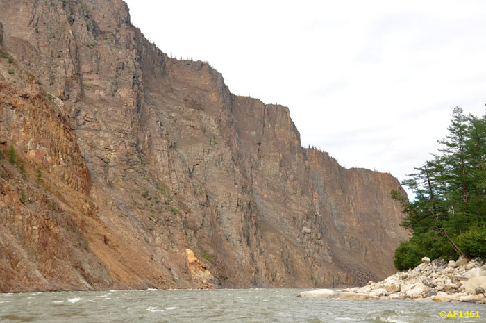
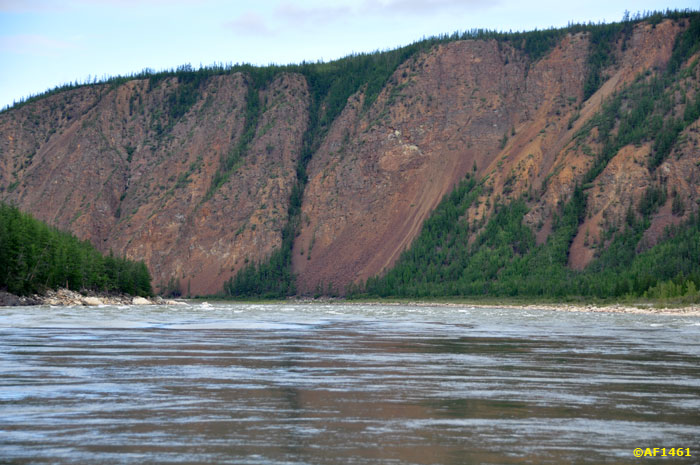
approaching 300-foot cliff.
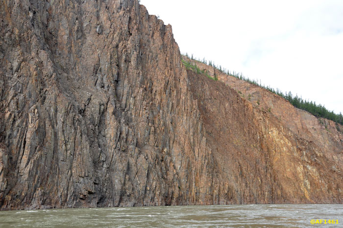
Near the wall, vertically terminating in the water very effectively.
These are the most Indigirka tributaries in the area. It is unclear why there are more - water or stones.
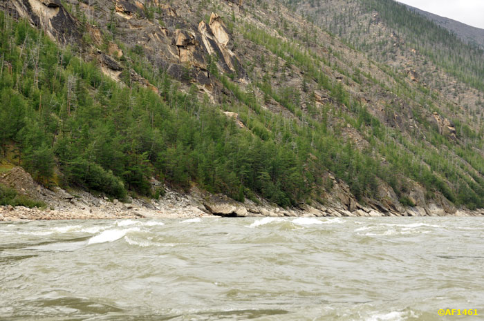
Wild Coast.
And the next Shiver.
for right corner - Rock Angus Tas.
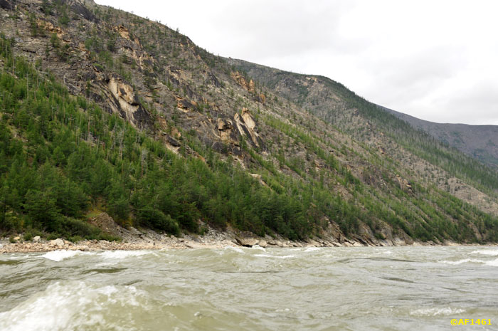
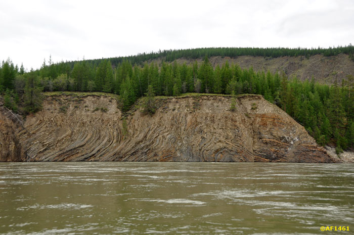
Breed is already quite different.
Above the entrance to "Krivun" rise up here, such rocks. We are staring at them too.
And barely had time to remove cameras - began a threshold. It was not before the shoot, here you see only the end of the Second stage.
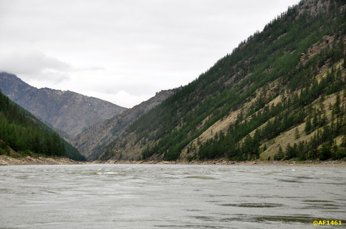
Below threshold reappear "Indigirka lace.
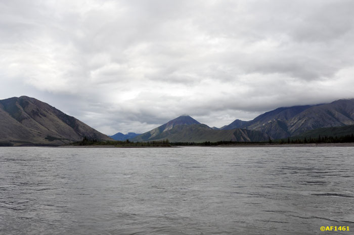
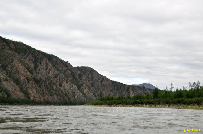
Valley becomes a little wider.
cliffs along - below.
But swift water Indigirka lures farther and farther away.
be continued ...